|
|
SuperTeacherTools |
|

|

|
Scoring is built in for each team.
You can also choose to use a timer below.
|
Prefer the old Flash template? Switch now: ubaTaeCJ Jeopardy Review Flash Version ubaTaeCJ |
|

What type of map shows the borders between countries?
What type of map shows the height of the land?
What type of map shows where mountains and plains are located?
What are the cardinal directions and the intermediate directions on a compass rose?
Why do maps need a map scale?


What are the areas at the top and bottom of a globe called?
What is one reason a globe is a GOOD model of Earth?
Why is a glove NOT a good model of Earth?
Why is a map a GOOD model of the Earth?
Why is a map NOT a good model of Earth?
A Political Map
An Elevation Map
A Physical Map
N, S, E, W
NE, NW, SE, SW
to show you how far away a place is in real life
Australia
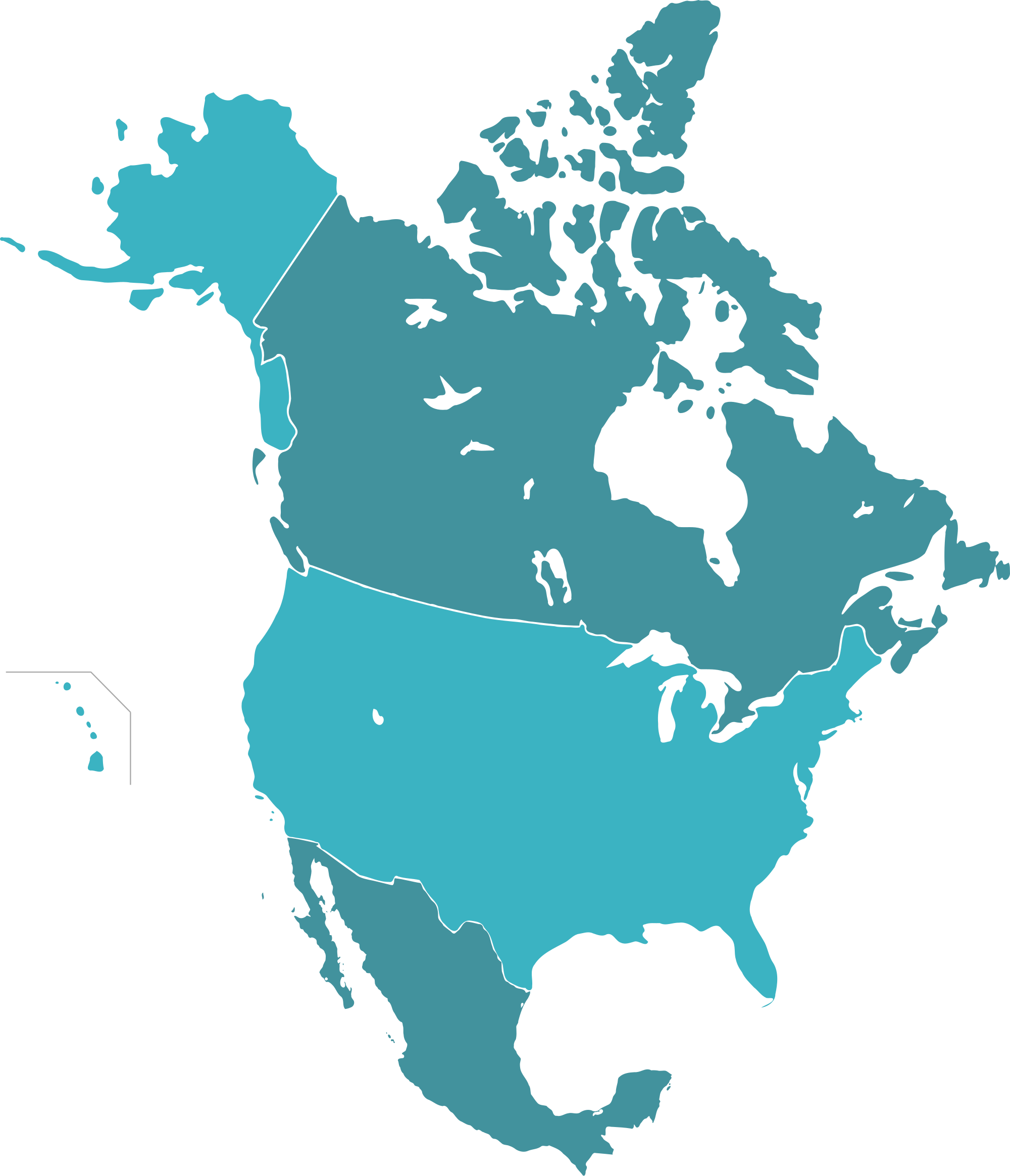
North America
Asia
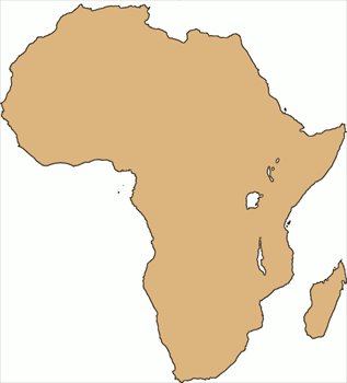
Africa
Europe
Poles
Same shape as Earth
Shows the whole Earth at once
No distortion
It can only show very large places
Small objects are hard to see on globes
Hard to carry around
You can only see half the Earth at a time.
It can show more detail
Easy to carry
It is not the same shape as Earth.
Some objects are distorted.